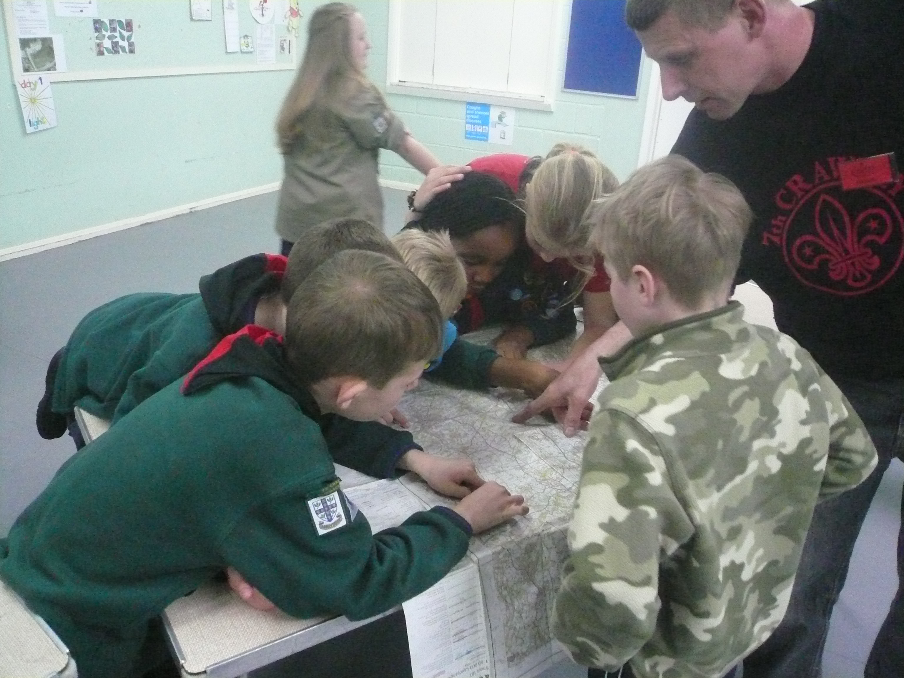
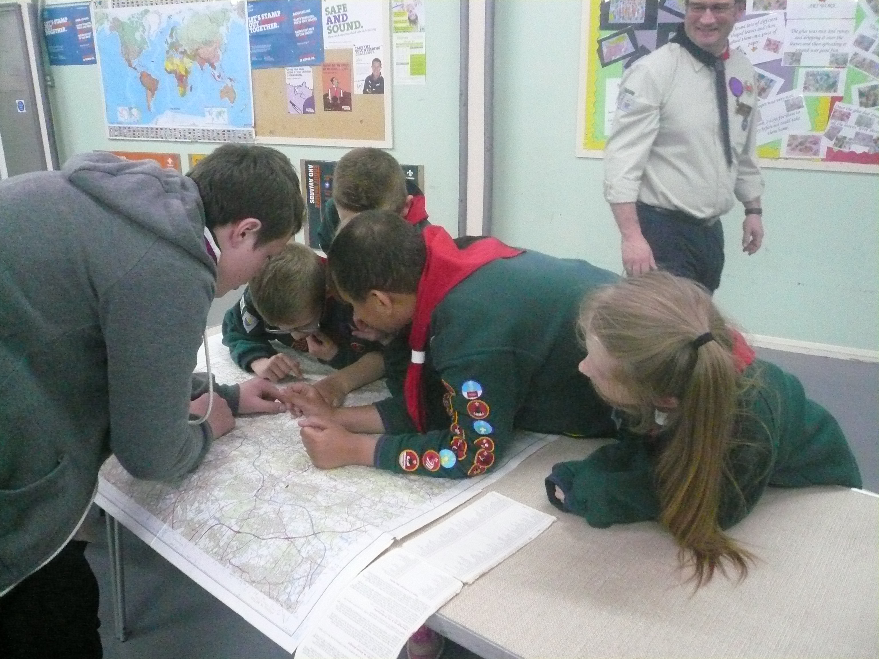
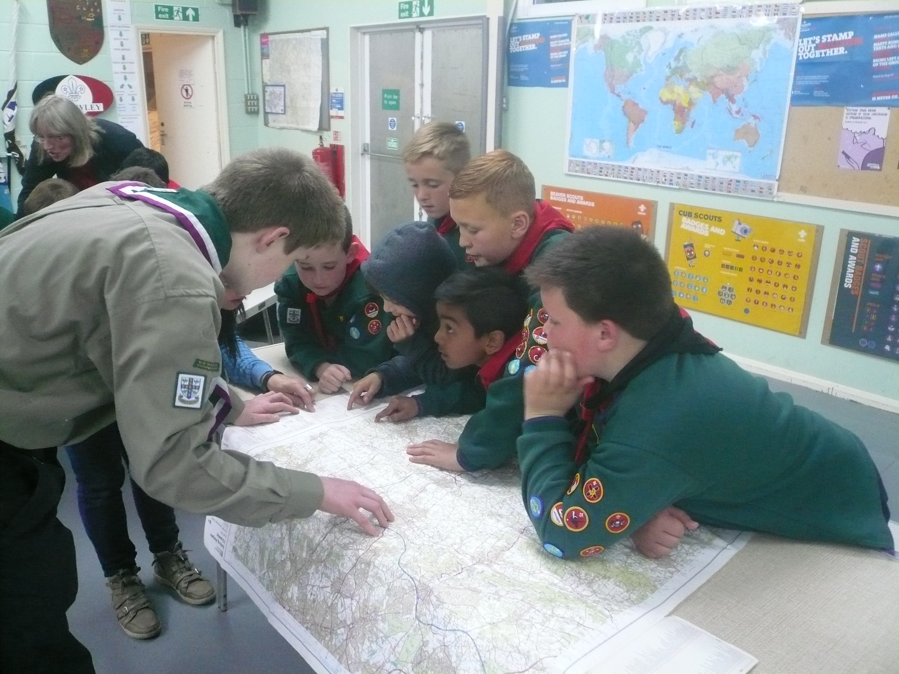
160426 Cubs
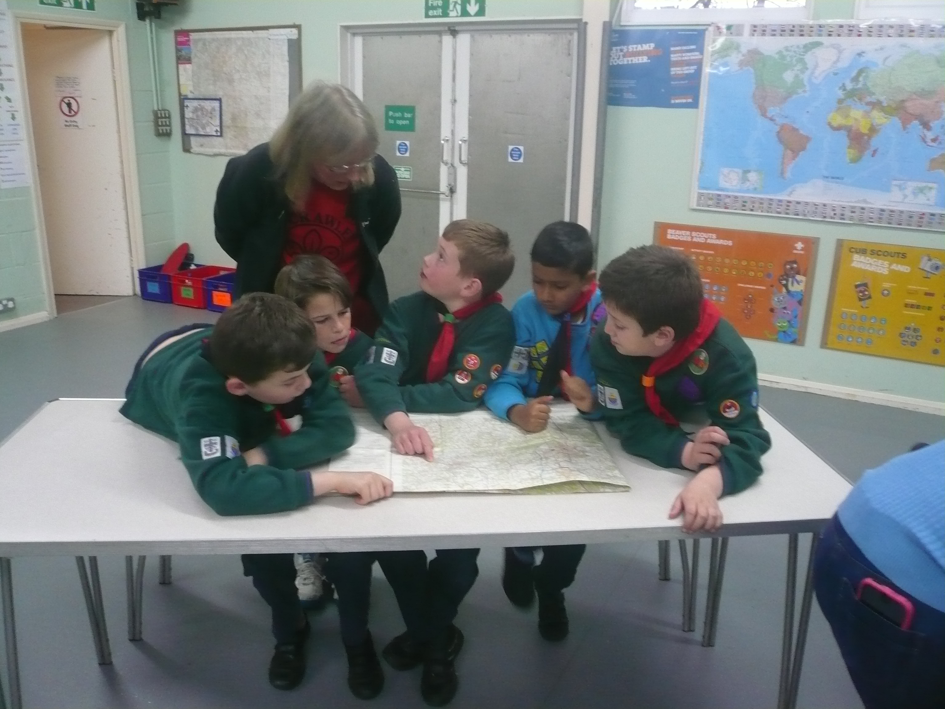
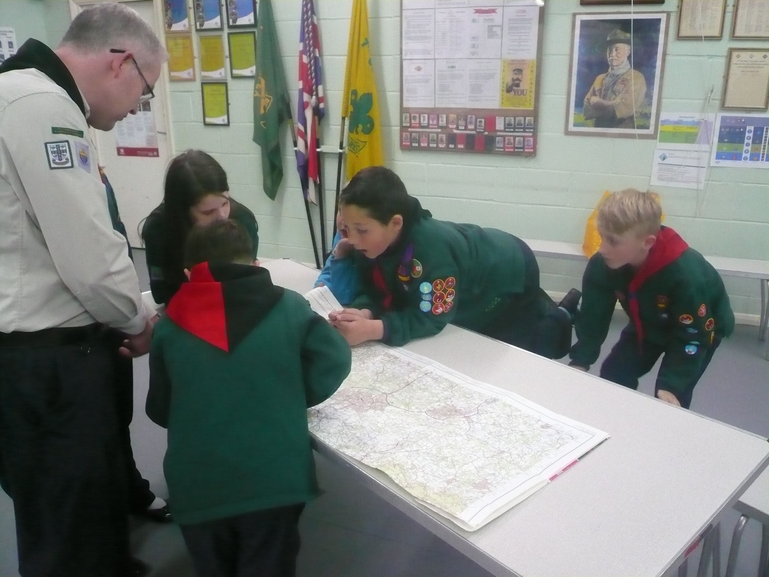
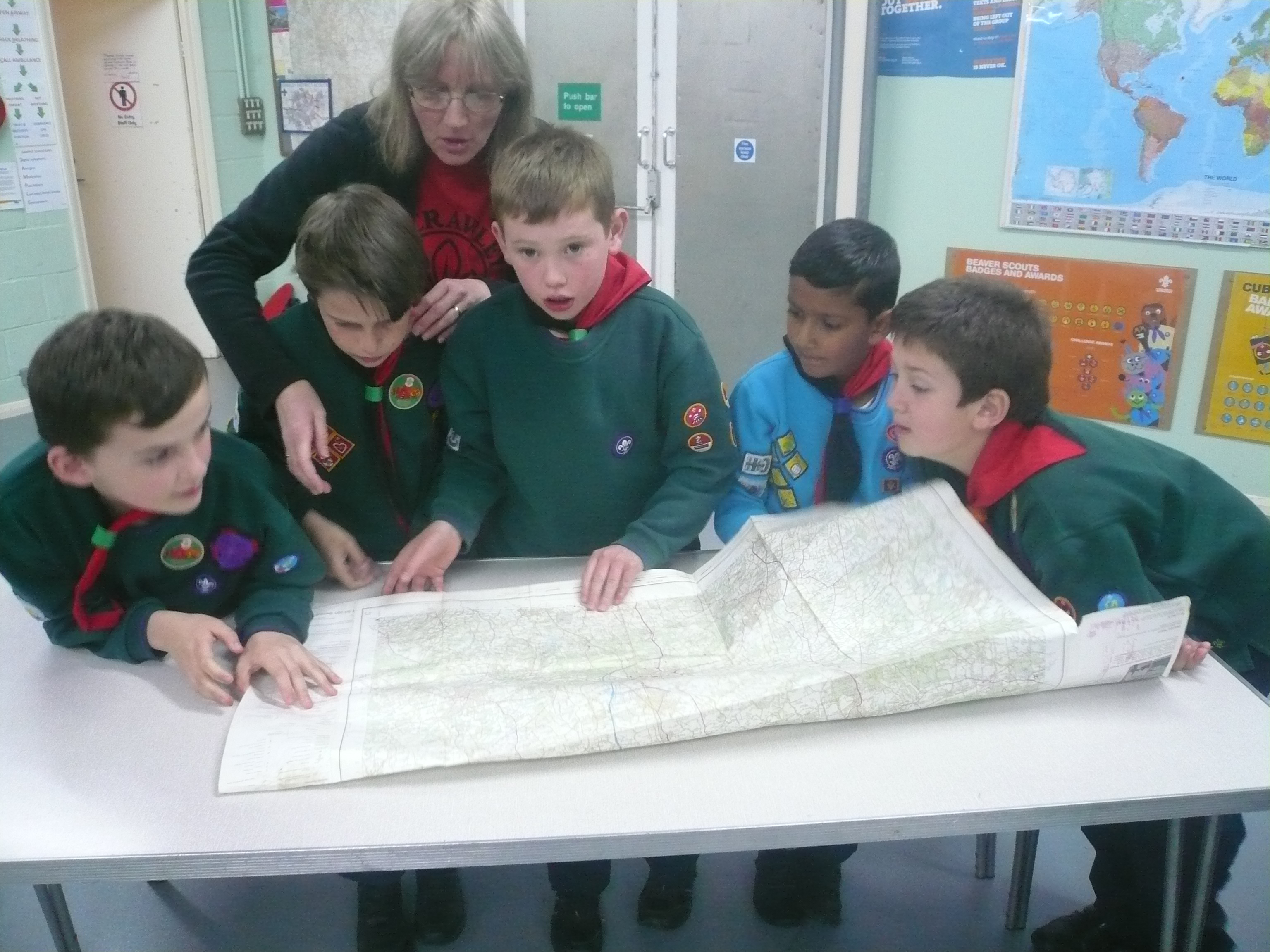
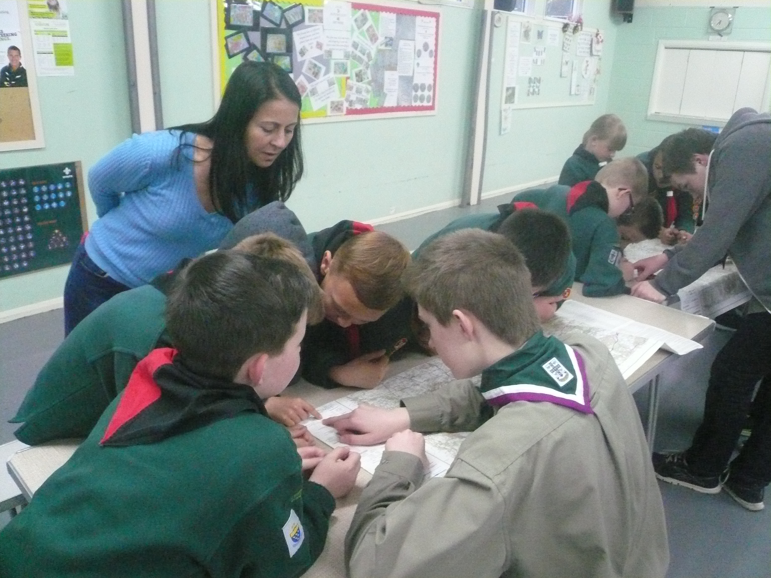
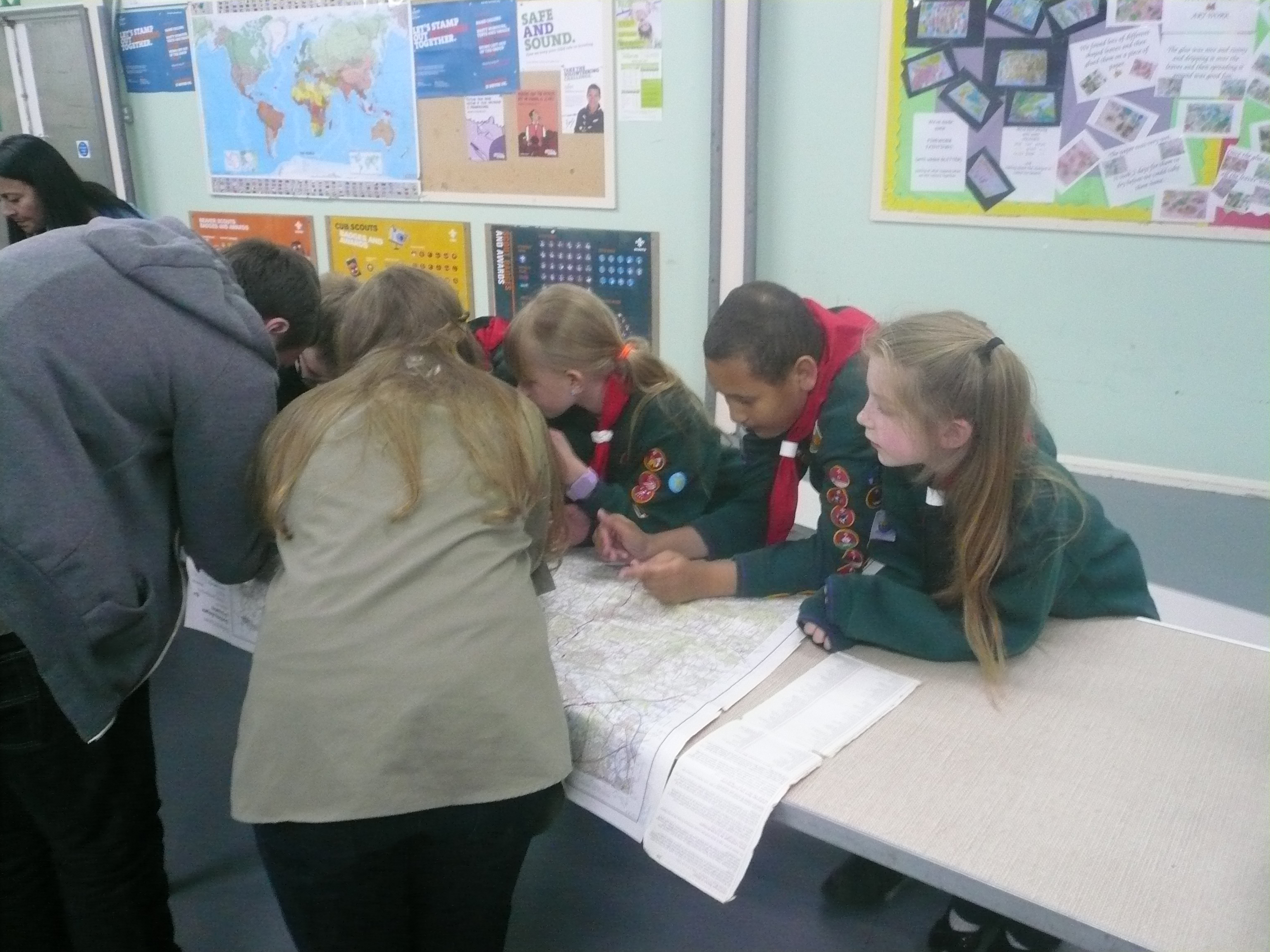
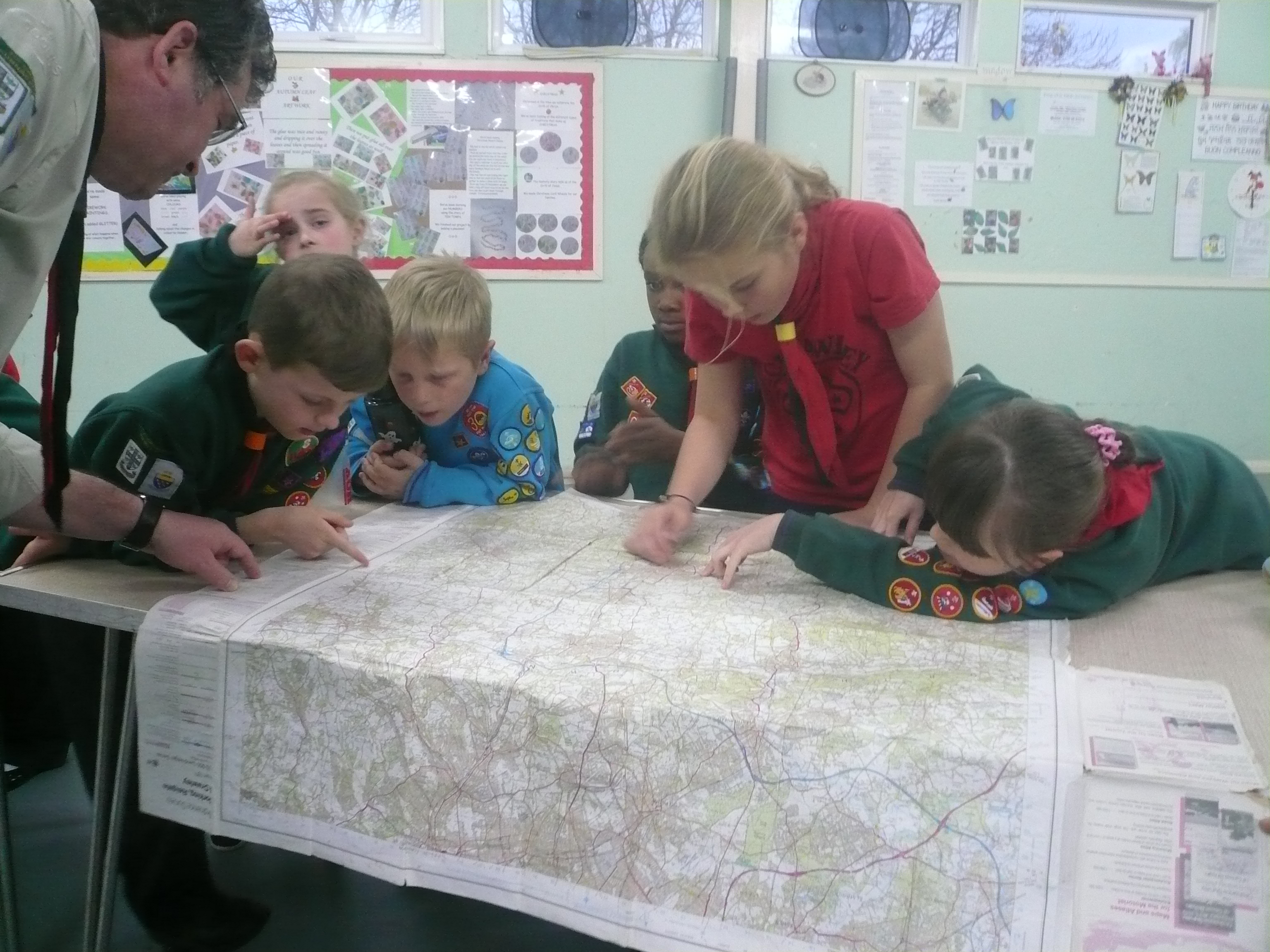
Tonight the Cubs learnt one of the many traditional skills that make Scouting what it is: 4 & 6 figure map references.
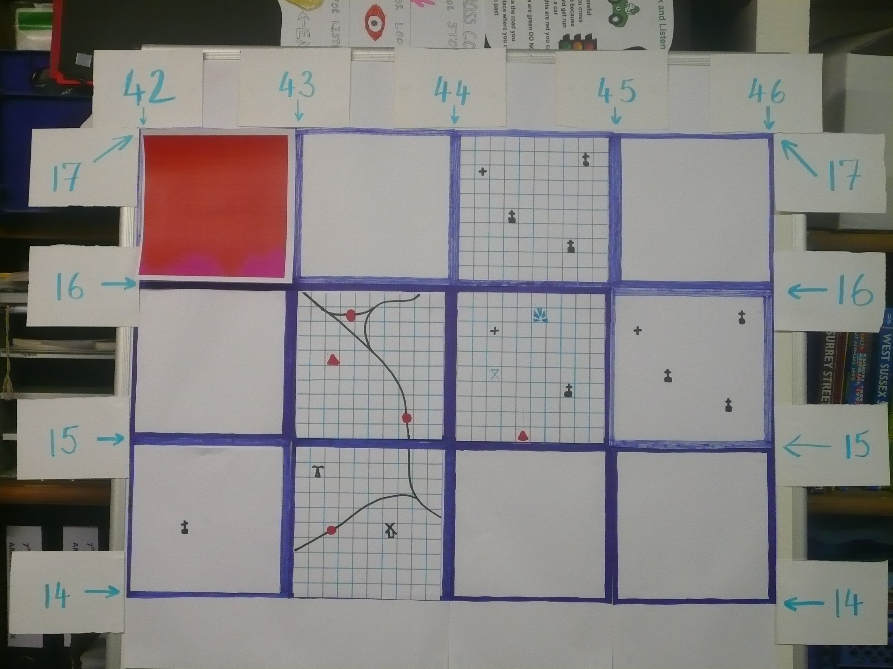
We started off by looking at the key to our local Ordnance Survey map (Number 187) and learning a few of the more common map symbols.
Then we looked at the blue numbers that appear along the top and bottom of the map (Eastings) and those that appear on the left and right of the map (Northings). From these numbers and covering the whole map were lots of little blue squares. Each of these squares represented the length of 1 kilometre. Each map covers an area of 40 square kilometres
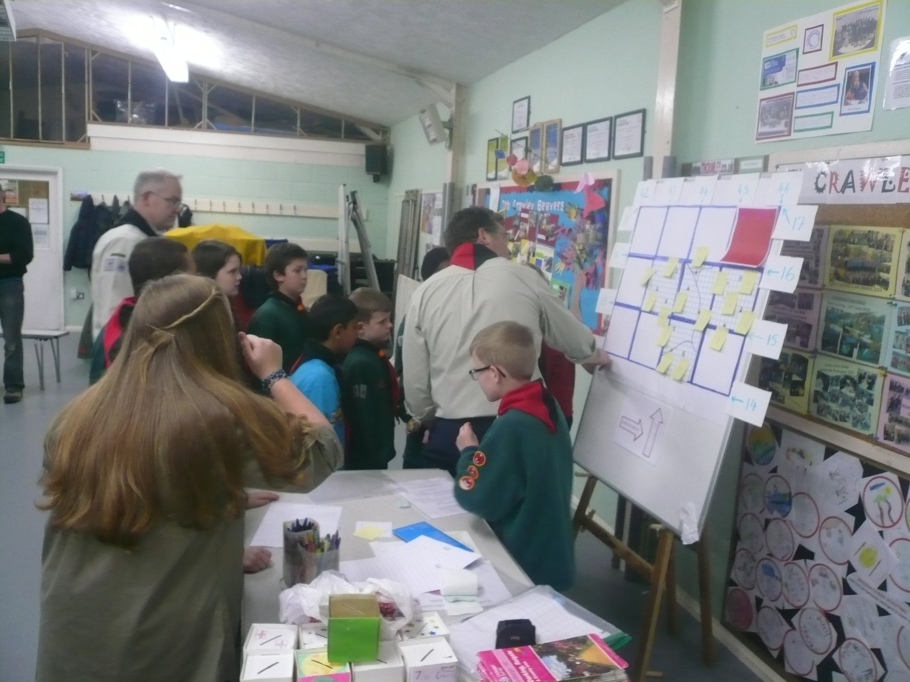
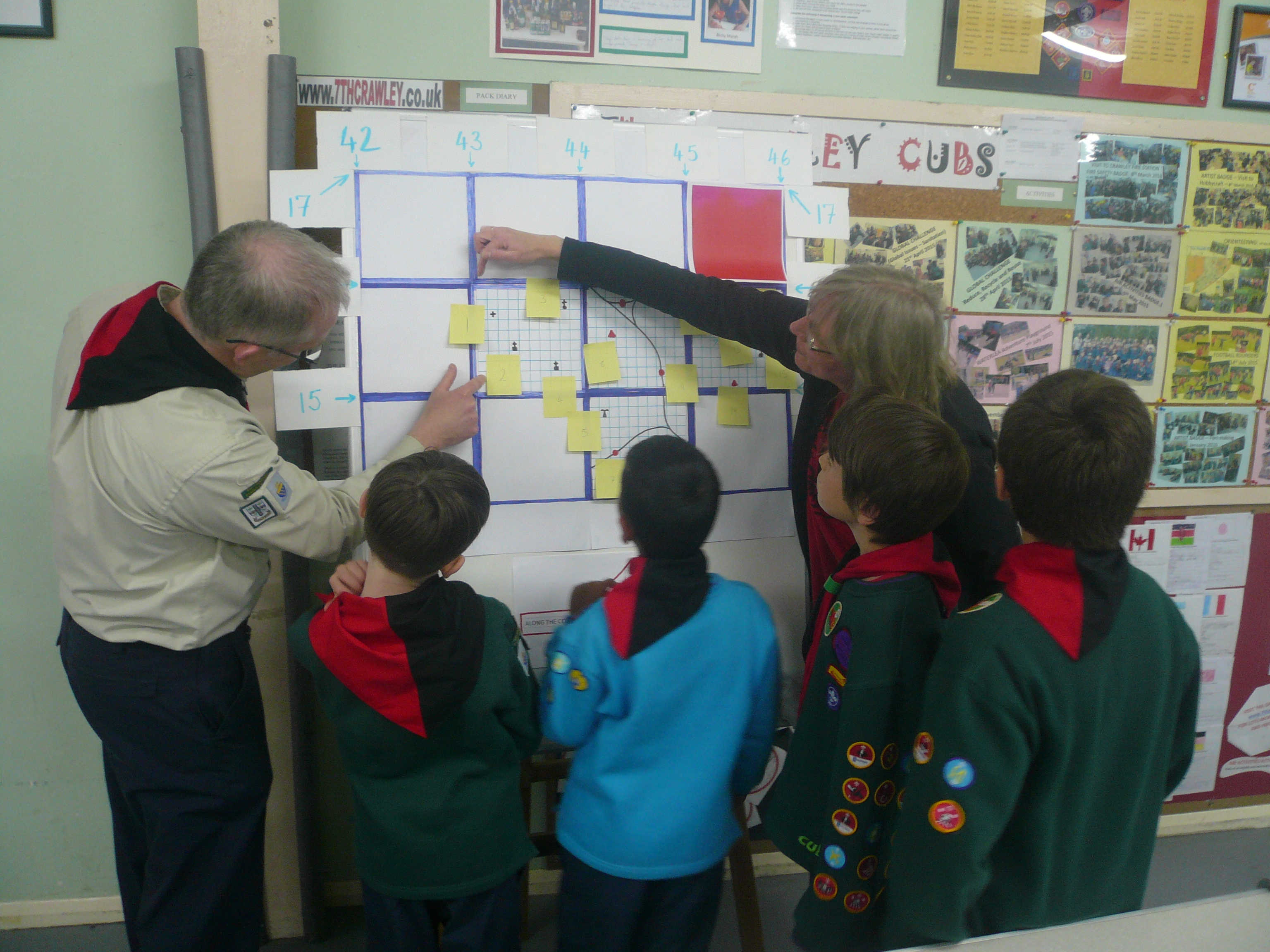
It was then explained how to pin point a particular square by using a 4 figure grid reference. You first of all take the reading from the “Eastings” i.e. “42” and then the “Northings” reading i.e. “13”. (Along the corridor and Up the stairs).
We then went through a few examples of 4 figure grid references that we had to work out. It was explained that the 4 figure grid reference was only of limited usefulness and was ok if, for example, we had arranged to meet at a church in a particular area (square on the map) where there was only one church. The difficulty would be if there were more than 1 church in that area (square) and this is where the 6 figure grid reference is better as, rather than pinpointing an area of 1 square kilometre it pinpoints an area of only 100 square metres. (If Akela had been training Explorer Scouts or Leaders, for “Church” read “Pub”!). To find a 6 figure grid reference you need to sub divide the large blue squares into 10×10 smaller squares.
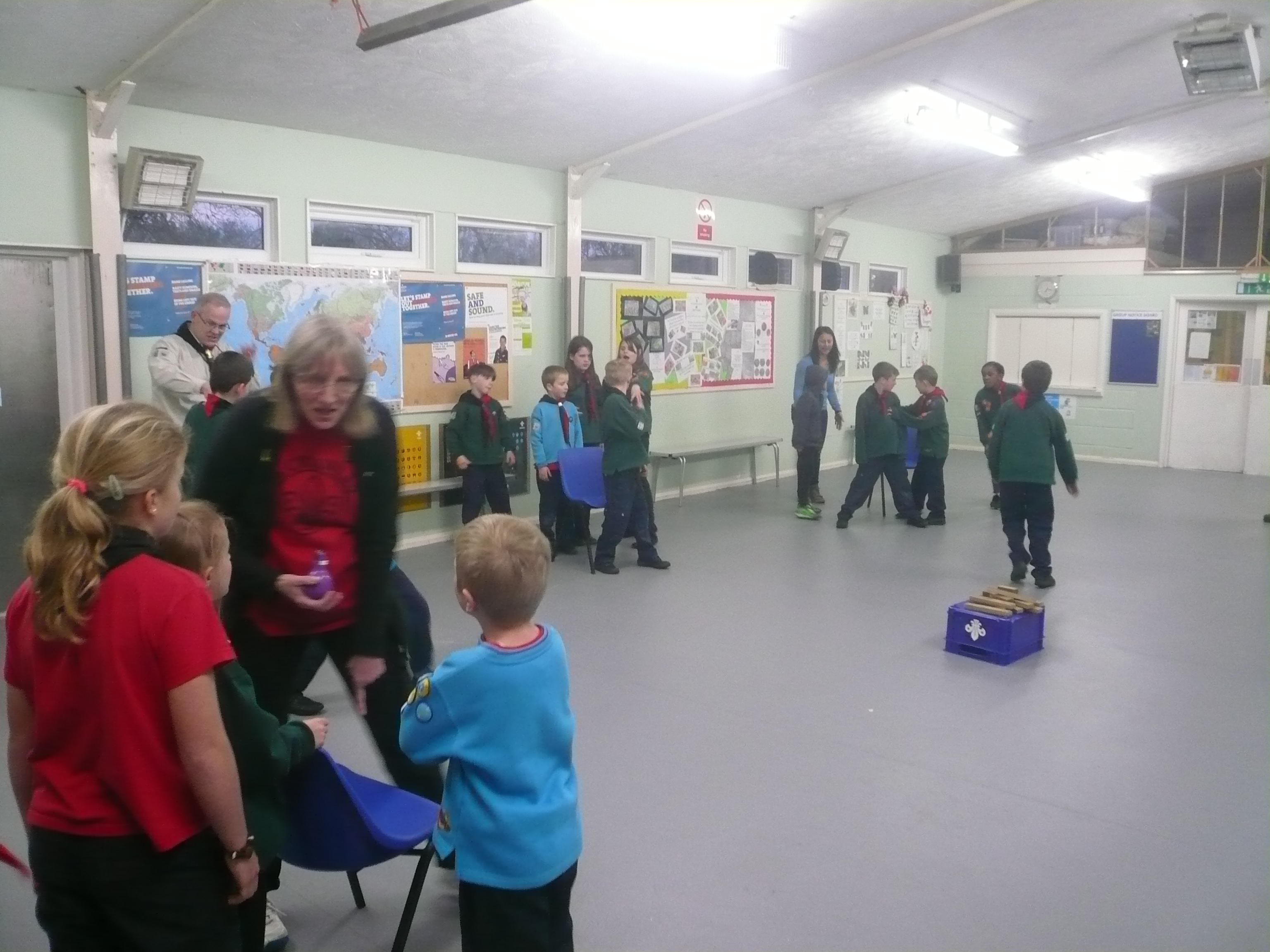
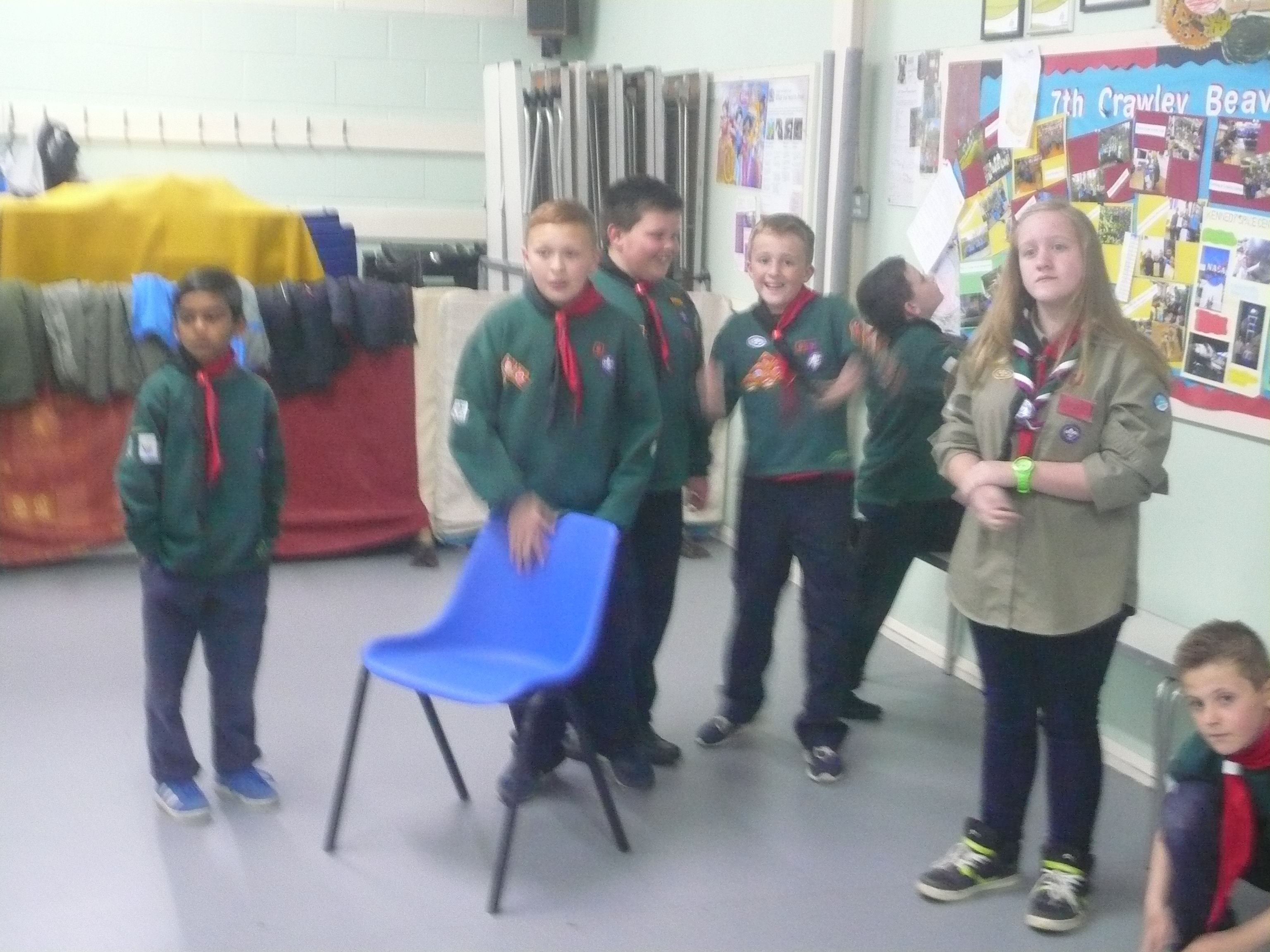
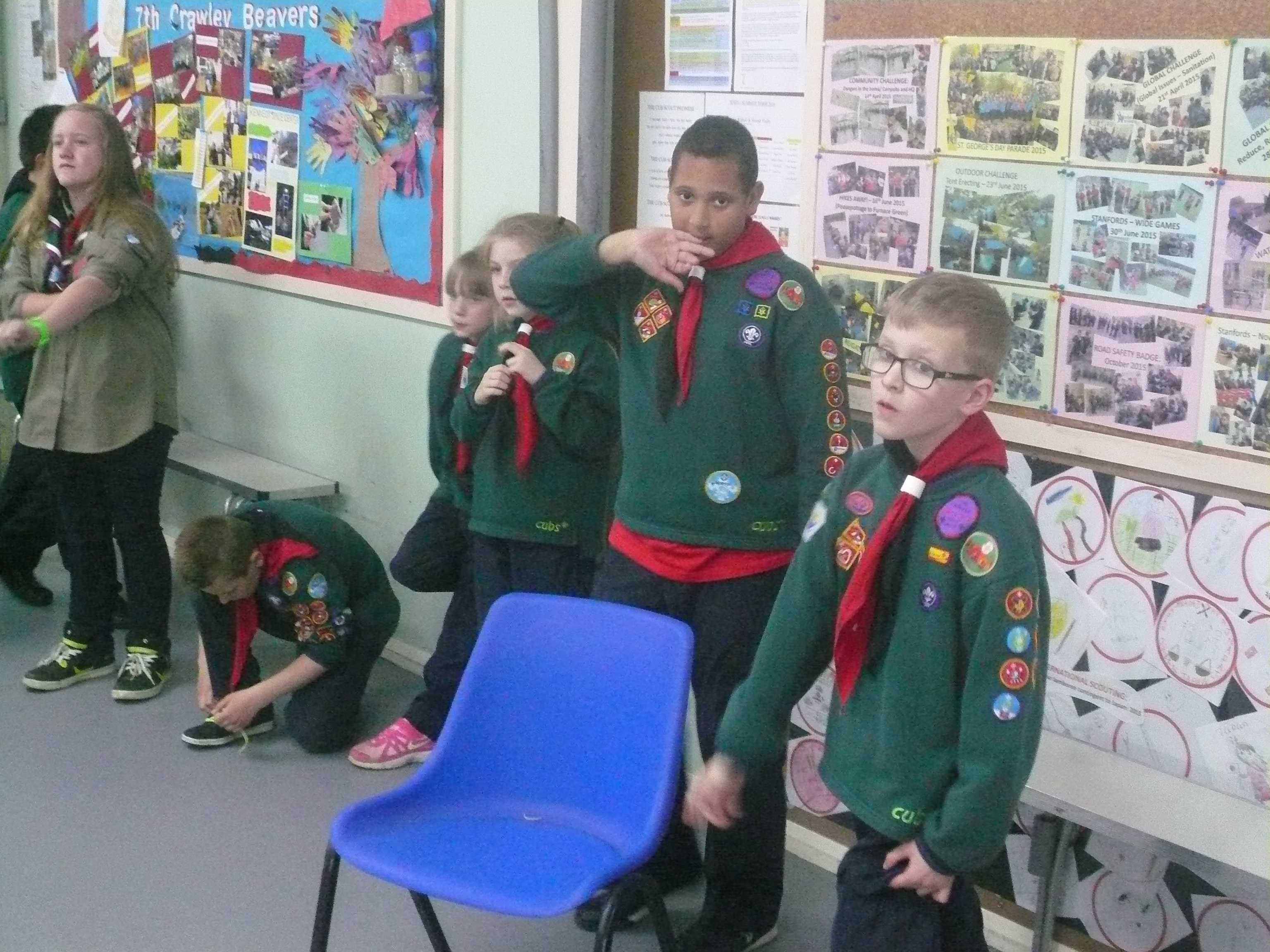
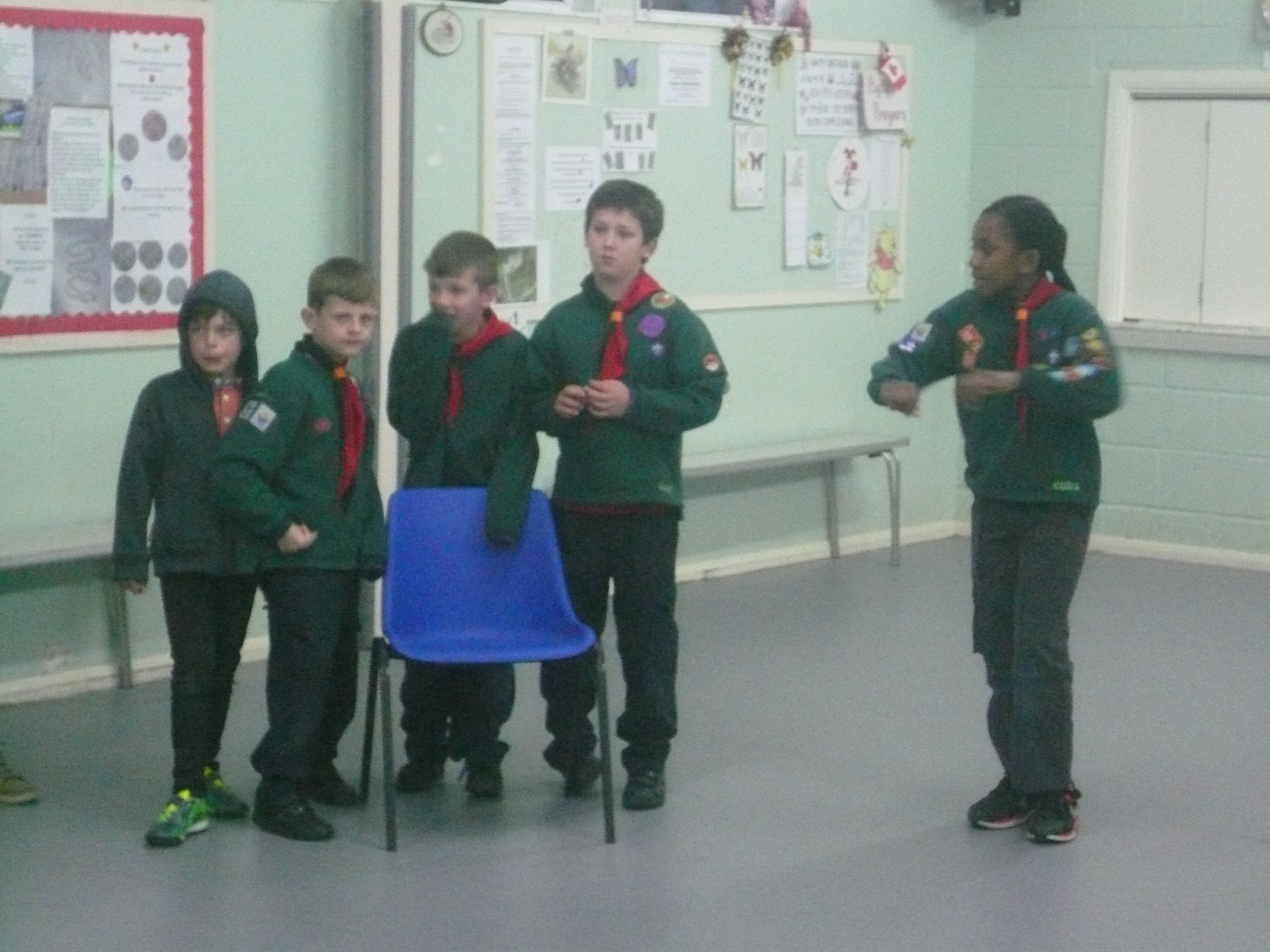
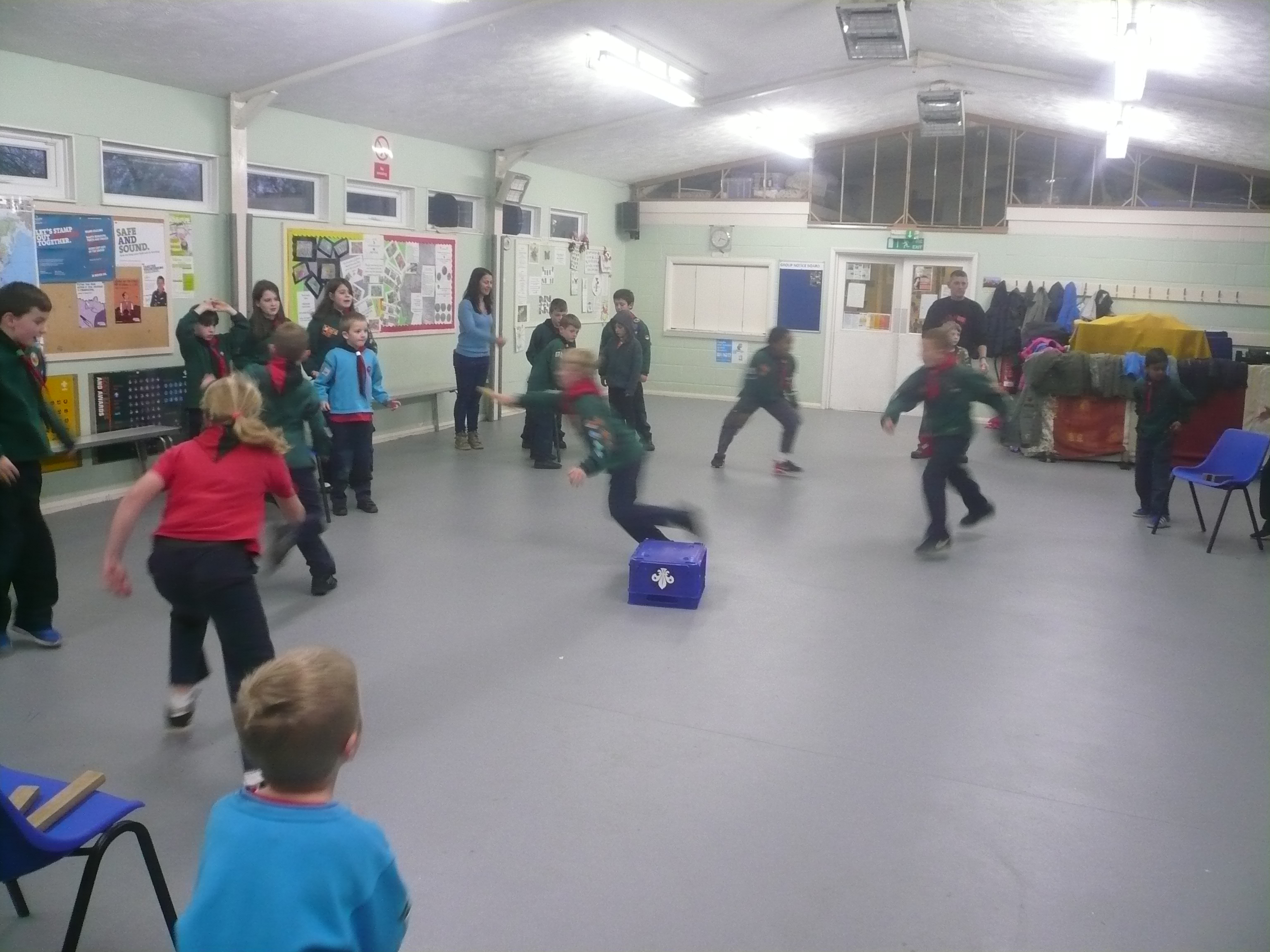
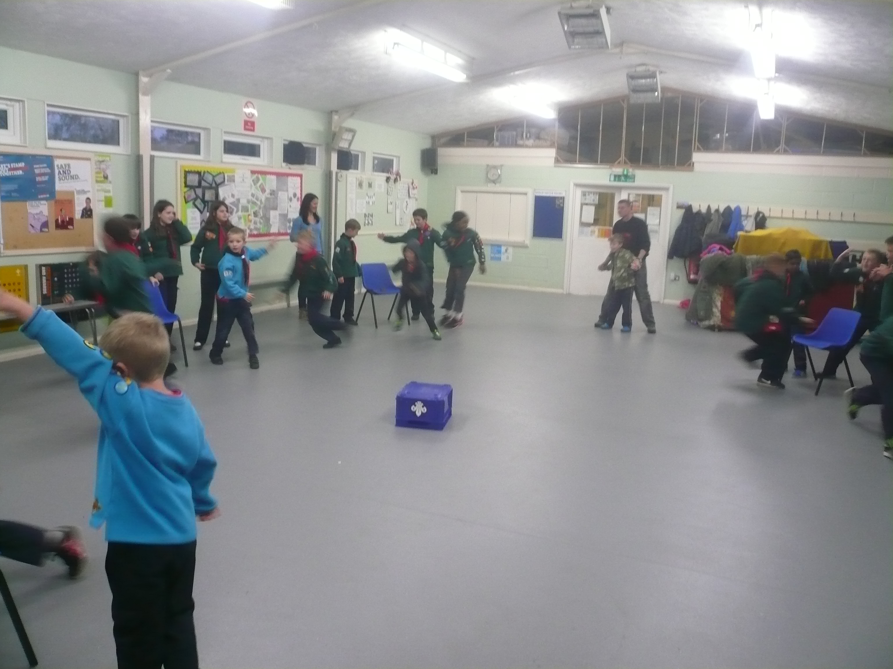
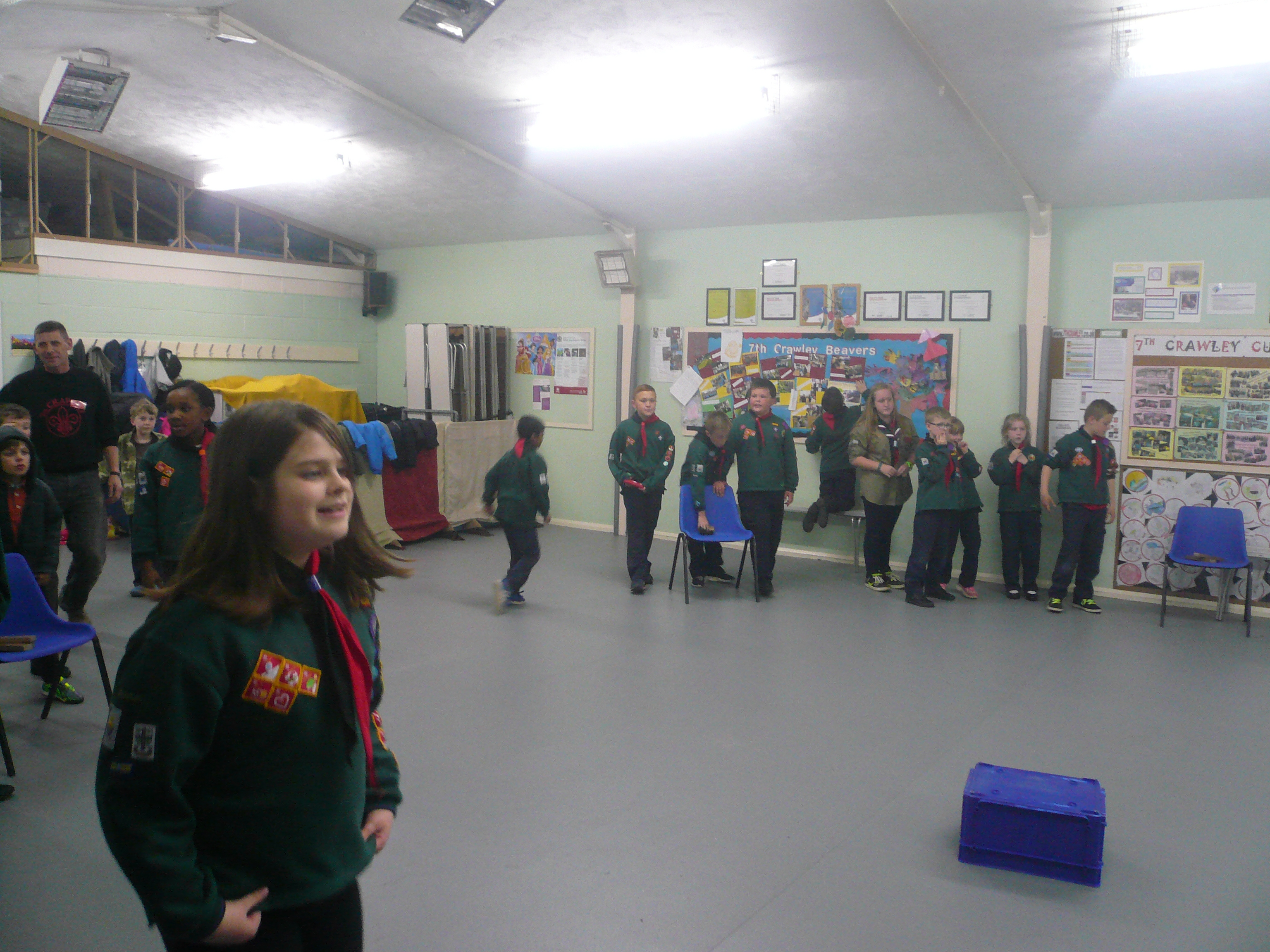
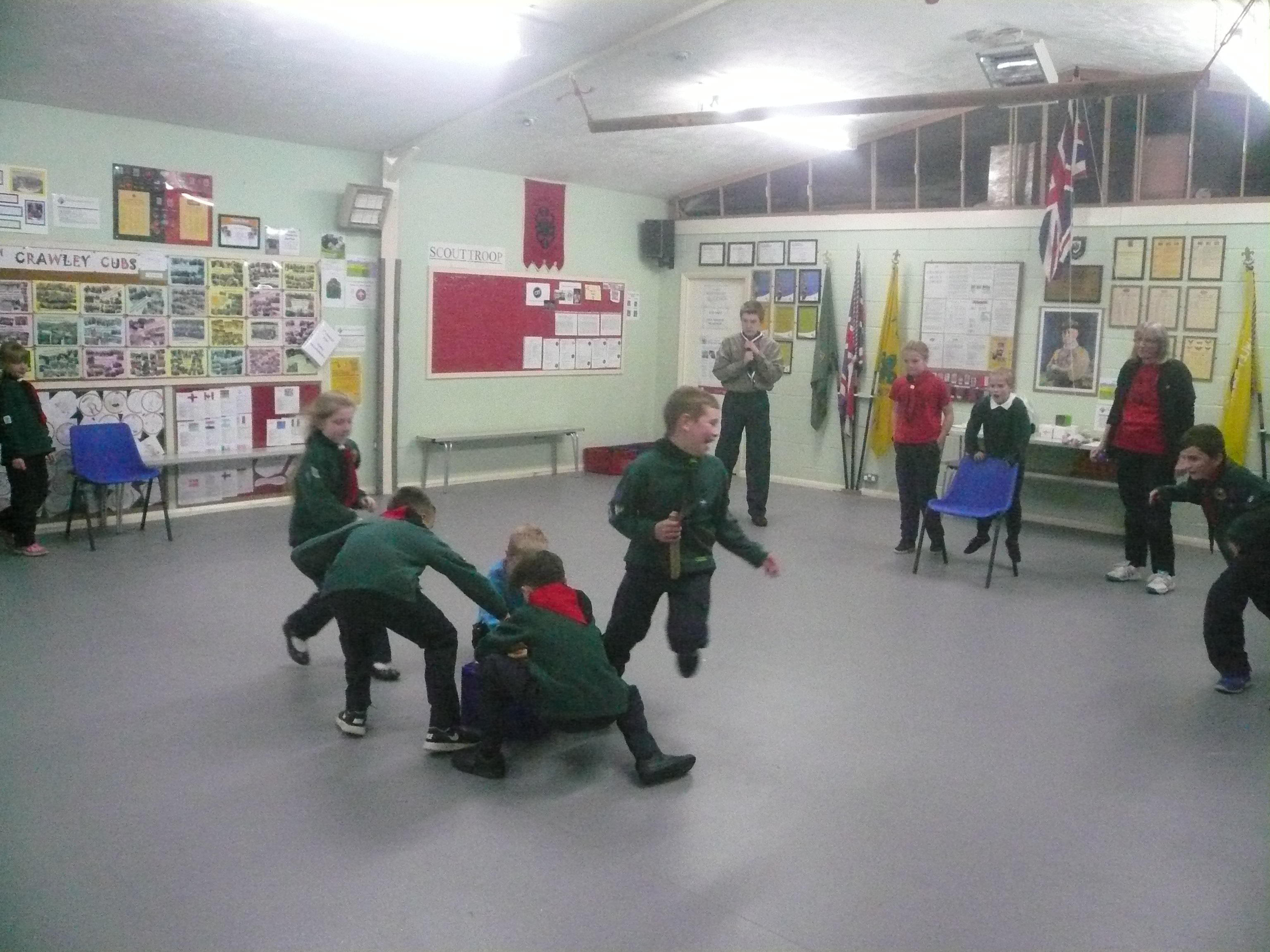
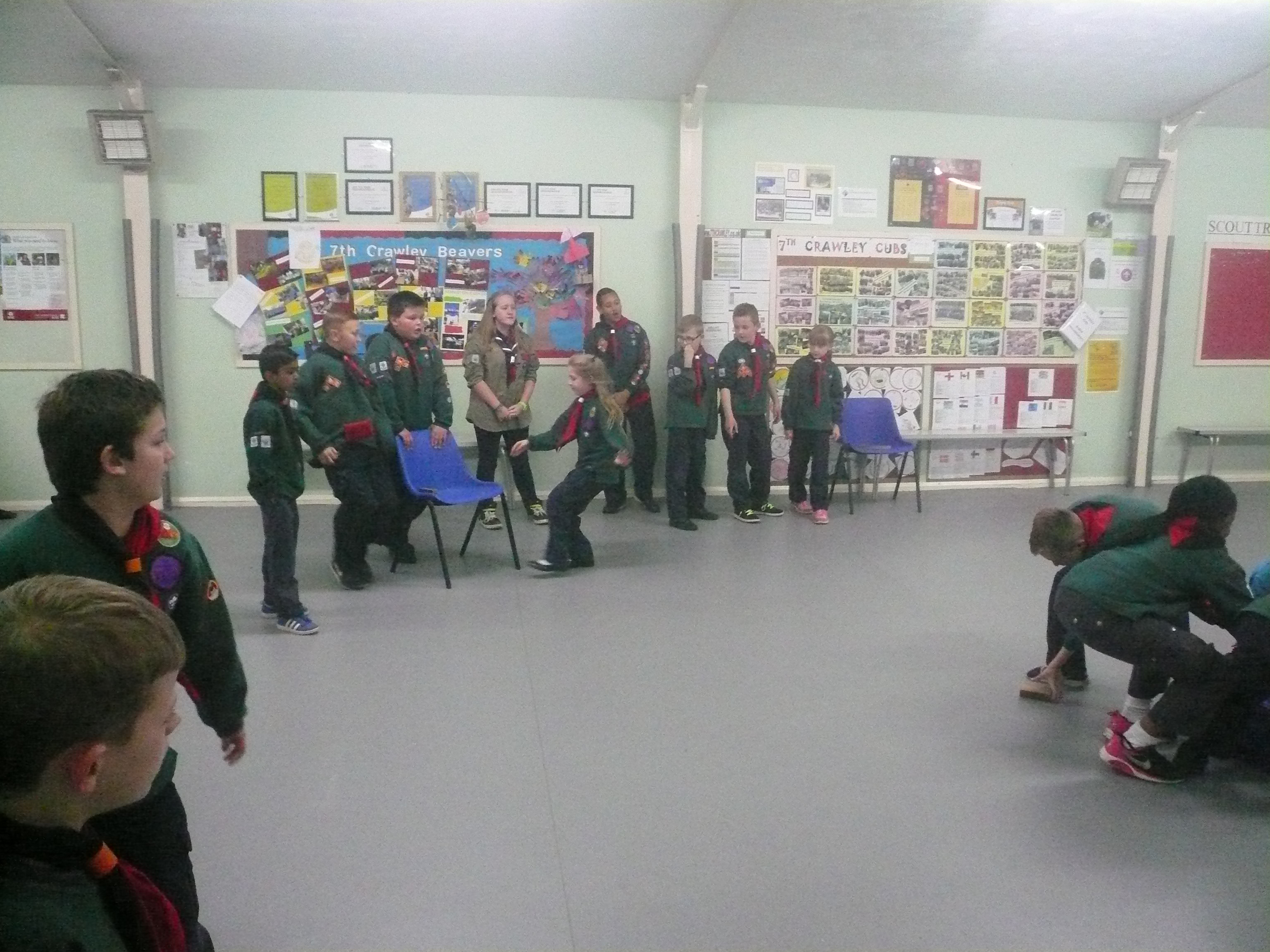
Having done all of this we then finished off with a number of games of Akela’s Gold.
Paul Masters. 26th April 2016